
File:Karte Deutschland.svg

此SVG文件的PNG预览的大小:443 × 599像素。 其他分辨率:177 × 240像素 | 355 × 480像素 | 567 × 768像素 | 757 × 1,024像素 | 1,513 × 2,048像素 | 592 × 801像素。
原始文件 (SVG文件,尺寸为592 × 801像素,文件大小:208 KB)
| 描述 |
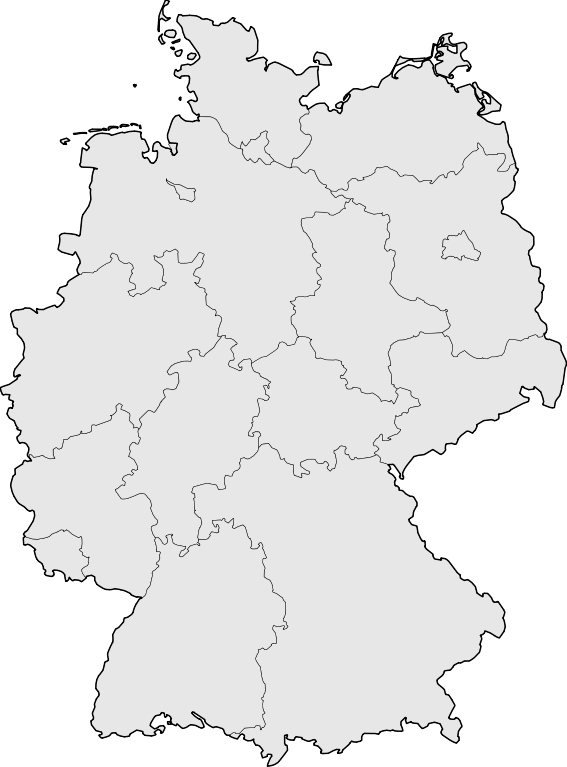
Deutsch: Karte der Bundesrepublik Deutschland mit den Grenzen der 16 Bundesländer.
English: Map of Germany with the borders of the 16 federal states.
|
| 日期 | |
| 来源 | Based on Image:Karte Deutsche Bundesländer (nummeriert).svg, color scheme of Image:Karte Deutschland.png applied. |
| 作者 | David Liuzzo |
| 授权 (二次使用本文件) |
本文件采用知识共享署名-相同方式共享 2.0 德国许可协议授权。
 |
| 其他版本 |
此文件衍生的作品:
|
| SVG开发 | 本矢量图使用Adobe Illustrator创作, with Sodipodi |


.svg)
文件历史
点击某个日期/时间查看对应时刻的文件。
| 日期/时间 | 缩略图 | 大小 | 用户 | 备注 | |
|---|---|---|---|---|---|
| 当前 | 2008年3月18日 (二) 08:51 | | 592 × 801(208 KB) | TMg | Border lines a little bit darker so they are equal when viewing both images in the same size, e.g. 140px. |
| 2007年8月20日 (一) 20:34 |  | 592 × 801(209 KB) | Kjunix | {{Information| |Description= {{de|Karte der Bundesrepublik Deutschland mit eingezeichneten Grenzen der Bundesländer.}} |Source=based on Karte Deutsche Bundesländer (nummeriert).svg, color schem |
.svg)
文件用途
没有页面使用本文件。