
File:Europe location ENG2.png

預覽大小:800 × 599 像素。 其他解析度:320 × 240 像素 | 640 × 479 像素 | 1,024 × 767 像素 | 1,280 × 959 像素 | 1,594 × 1,194 像素。
原始檔案 (1,594 × 1,194 像素,檔案大小:728 KB,MIME 類型:image/png)
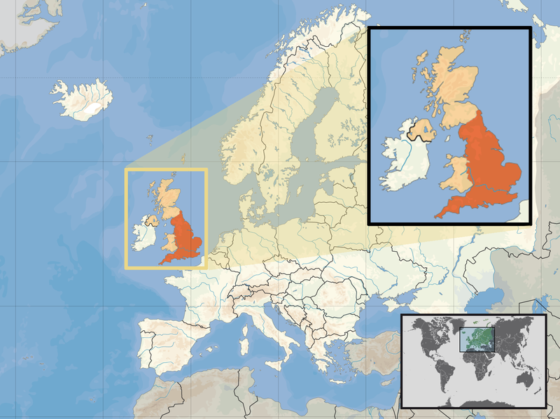
| 描述 | Location of England in the UK and Europe, on terrain map showing surface and underwater contour areas. | |||
| 日期 | ||||
| 來源 | Derived from Wikimedia Commons image of original work forming part of the "Europe location" map series created by David Liuzzo: derived from Image:Europe_location_ENG.png. | |||
| 作者 | uploaded by User:Kmusser (excerpt from User:David_Liuzzo) | |||
| 授權許可 (重用此檔案) |
|
|||
| 其他版本 |
|


檔案歷史
點選日期/時間以檢視該時間的檔案版本。
| 日期/時間 | 縮圖 | 尺寸 | 用戶 | 備註 | |
|---|---|---|---|---|---|
| 目前 | 2011年2月14日 (一) 14:58 | | 1,594 × 1,194(728 KB) | Beao | Removed border. |
| 2008年9月29日 (一) 19:00 |  | 1,600 × 1,200(792 KB) | Kmusser | {{Information |Description= Location of England in the UK and Europe, on terrain map showing surface and underwater contour areas. |Source=Derived from Wikimedia Commons image of original work forming part of the "Europe location" map series c |
檔案用途
下列頁面有用到此檔案:
全域檔案使用狀況
以下其他 wiki 使用了這個檔案:
- ace.wikipedia.org 的使用狀況
- ar.wikipedia.org 的使用狀況
- az.wiktionary.org 的使用狀況
- bn.wikipedia.org 的使用狀況
- br.wikipedia.org 的使用狀況
- cs.wikipedia.org 的使用狀況
- da.wikipedia.org 的使用狀況
- dsb.wikipedia.org 的使用狀況
- dty.wikipedia.org 的使用狀況
- en.wikipedia.org 的使用狀況
- es.wikipedia.org 的使用狀況
- eu.wiktionary.org 的使用狀況
- ext.wikipedia.org 的使用狀況
- fiu-vro.wikipedia.org 的使用狀況
- hr.wikiquote.org 的使用狀況
- incubator.wikimedia.org 的使用狀況
- ja.wiktionary.org 的使用狀況
- ka.wikipedia.org 的使用狀況
- my.wikipedia.org 的使用狀況
- nds-nl.wikipedia.org 的使用狀況
- nl.wikibooks.org 的使用狀況
- pam.wikipedia.org 的使用狀況
- pl.wikipedia.org 的使用狀況
- pl.wiktionary.org 的使用狀況
- pnb.wikipedia.org 的使用狀況
- pt.wiktionary.org 的使用狀況
- sc.wikipedia.org 的使用狀況
- shn.wikipedia.org 的使用狀況
- simple.wikipedia.org 的使用狀況
- sr.wikipedia.org 的使用狀況
- sv.wikivoyage.org 的使用狀況
- vls.wikipedia.org 的使用狀況
- xmf.wikipedia.org 的使用狀況
- yo.wikipedia.org 的使用狀況